Mount Becher trail, winter 2014
|
This is my favourite winter hike. I've done it on cross-country skis and snowshoes many times
in previous years. It starts at the parking lot at the abandoned Forbidden Plateau ski area at the
elevation of about 700 m a.s.l., and under good conditions one can get to the summit of Mt. Becher
at 1385 m a.s.l. in under 3 hours. This winter there was little snow for a long time, and so I
could go there for the first time only on Feb. 14, right after the first significant
snowfall. The trail was broken too only short distance from the start, and there was soft wet
snow on which it was very difficult to walk even with snowshoes.
So I did not get to summit of Mt. Becher on that day. Only on my second try on March 4
did I get there, when there was much more snow but it was already frozen.
(Click on the pictures bellow to get their higher resolution versions.)
View from Mt. Becher on March 4: 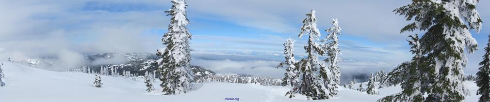
More details: | |
| 14 February 2014 hike | 4 March 2014 hike |
|---|---|
Entering the Strathcona Provincial Park. Never before have I seen this information/welcome
board as so far I had always been on this trail in winter when the snow layer could be
4-5 m deep in this area and up to 7 m at Mt. Becher summit. Thus before have I always
been moving several meters above this board. Note about 60 cm of fresh snow on the roof
of the board deposited there in the previous 24 hours:
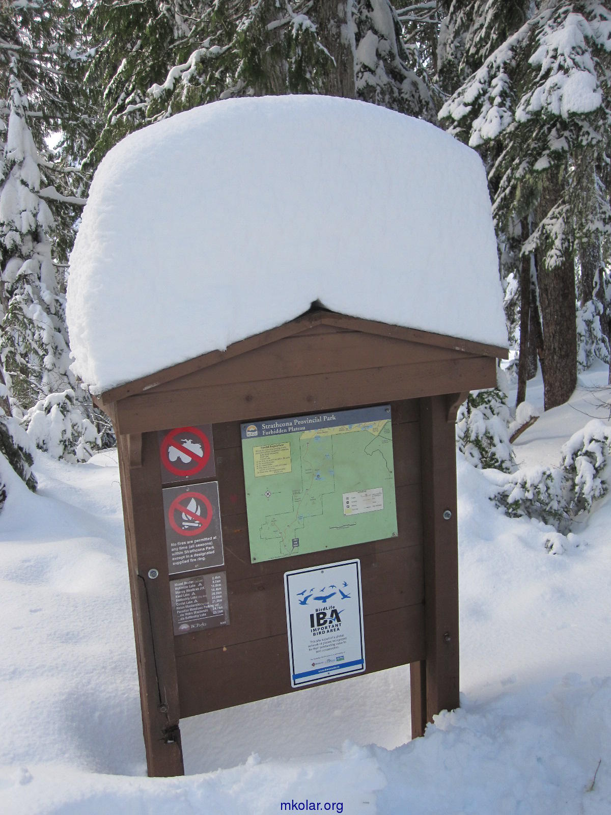
View to the left from the Strathcona boundary information board: 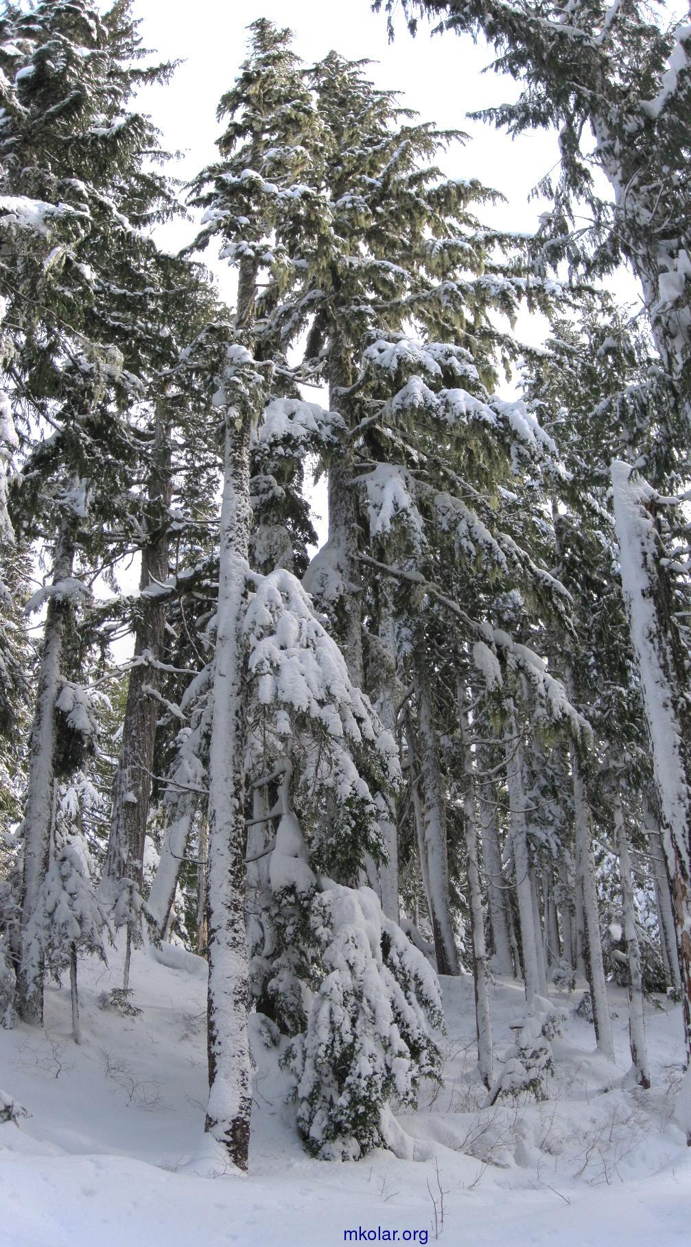
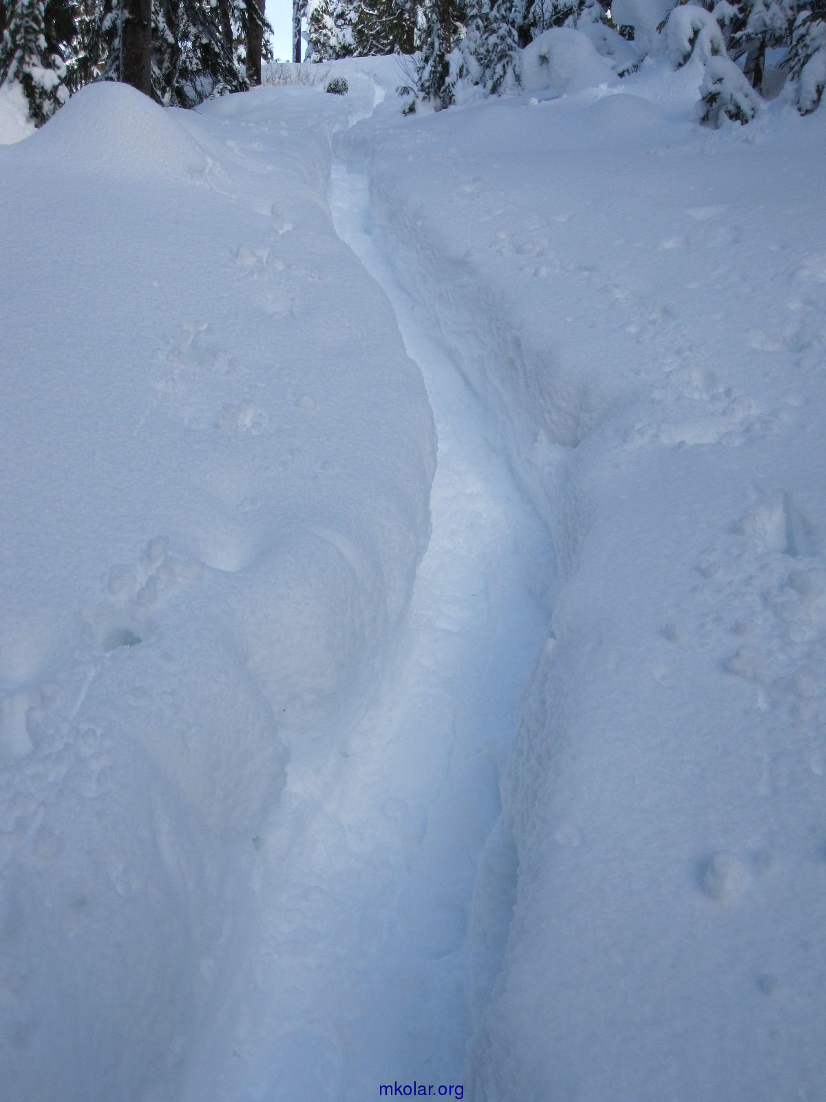
View ahead: Knee-deep trail. One could sink even deeper when stepping off the trail: 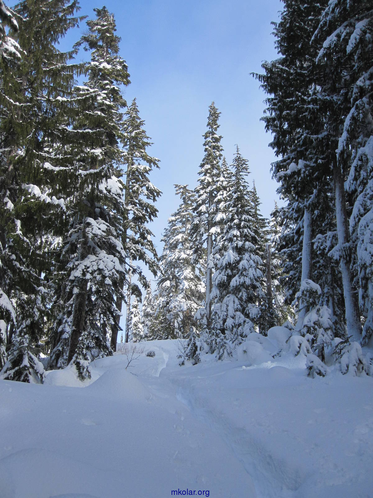
There were only four other people on the trail that day. The first two went just for a short walk. The other two, a couple with two big dogs I met at the end of the broken part of the trail. They gave up soon after I made this photo, and returned back: 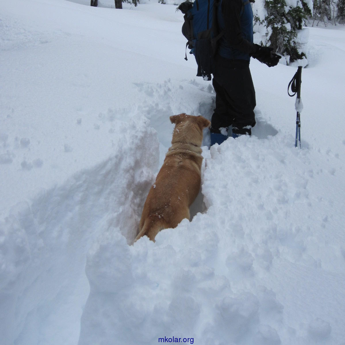
It was still too early, only 12:40 pm, and so I forged ahead for another three hours and a quarter. It was very slow progress but the weather was fine. It was interesting to experiment with different kinds of snow surface. It was the best to try to walk near tree branches where the snow was soaked by water dripping from melting snow on tree branches, or even more hardened by the impact of whole bunches of snow falling down from trees. With luck one could walk in such places for up to a few metres without falling through the surface. But on average it was a very tiring adventure. I may not even made one kilometre in those three hours. I gave up when I saw among tree branches at least the ridge leading up to Mt. Becher: 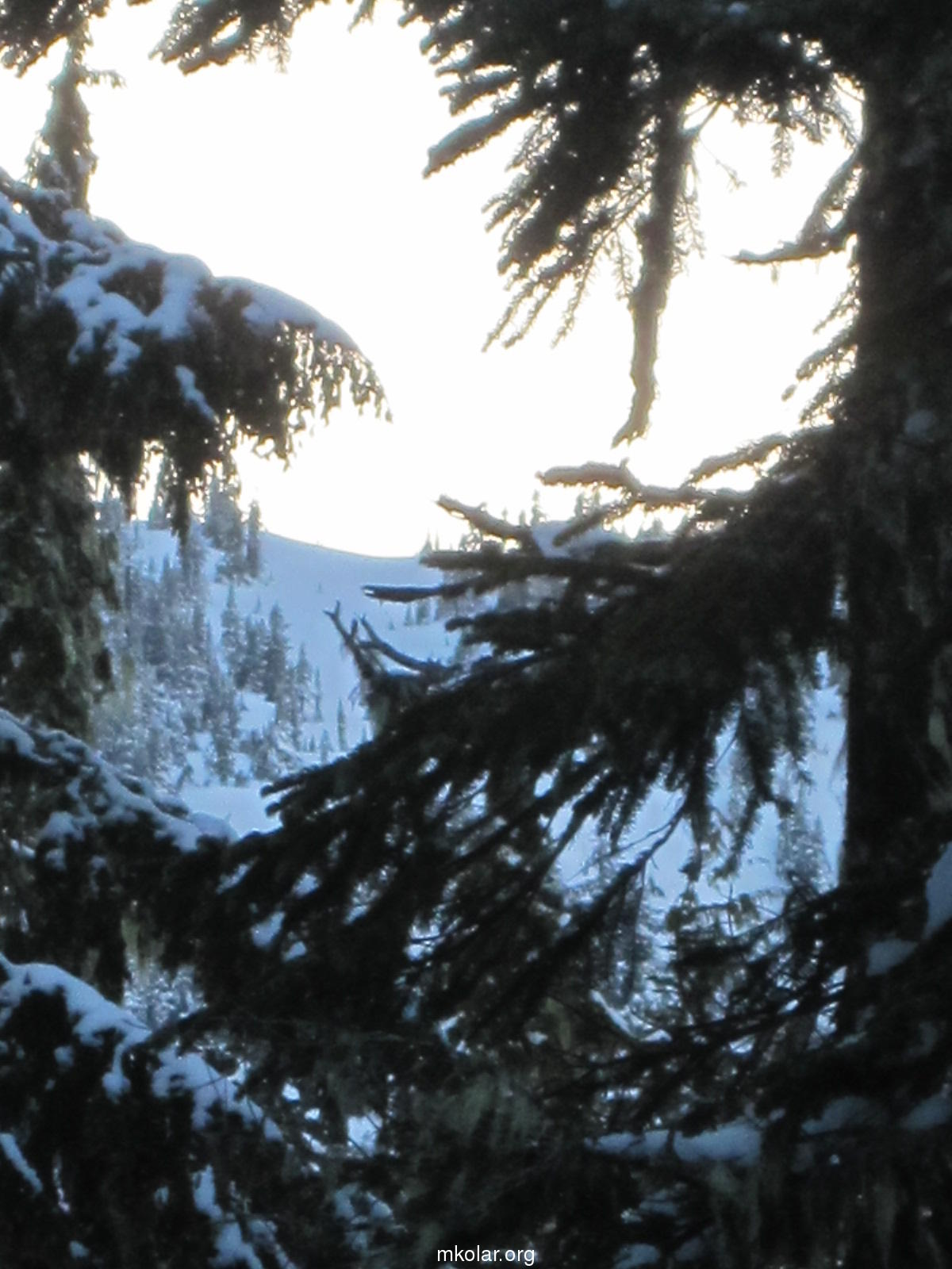
It was time to return anyway. It took me about one hour and half to get back to the car. Timing was excellent, and I saw beautiful full moon rise near the end on my hike. Clicking on this picture will reveal more rising moon photos: 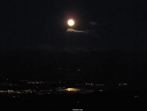
Heavy snowfall continued in the following days. I wanted to check this trail two days later, on March 6, but it was not even possible to get to the parking lot, there was too much snow on the road leading up there. So I went to the new Mt. Washington ski area instead. Just as I got there, heavy snowfall started again. Huge amounts of dry powder snow were falling from the sky. I was enjoying to be submerged in that white element for all afternoon. In the end I was wading on snowshoes in powder snow that was up to my chest! I was surprised, one can move at all in such conditions. No photos made, it would be just one big white blur. 4 March 2014 hike - continued from the bottom right column: And here is the whole bowl wall with two light circles drawn around the dark figures of the climbers: 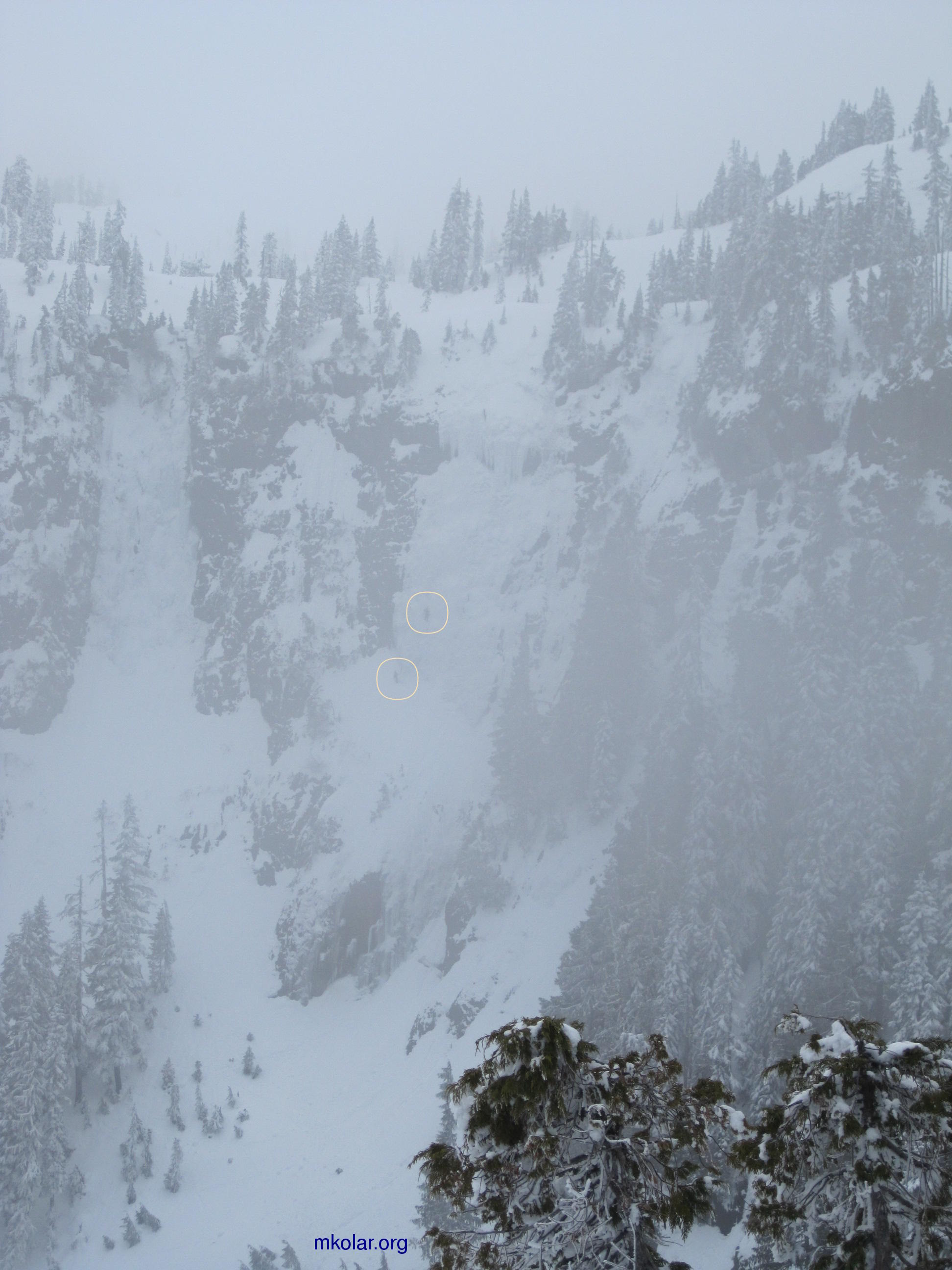
A little detour near the end (start) of the trail to a Comox Lake viewpoint: 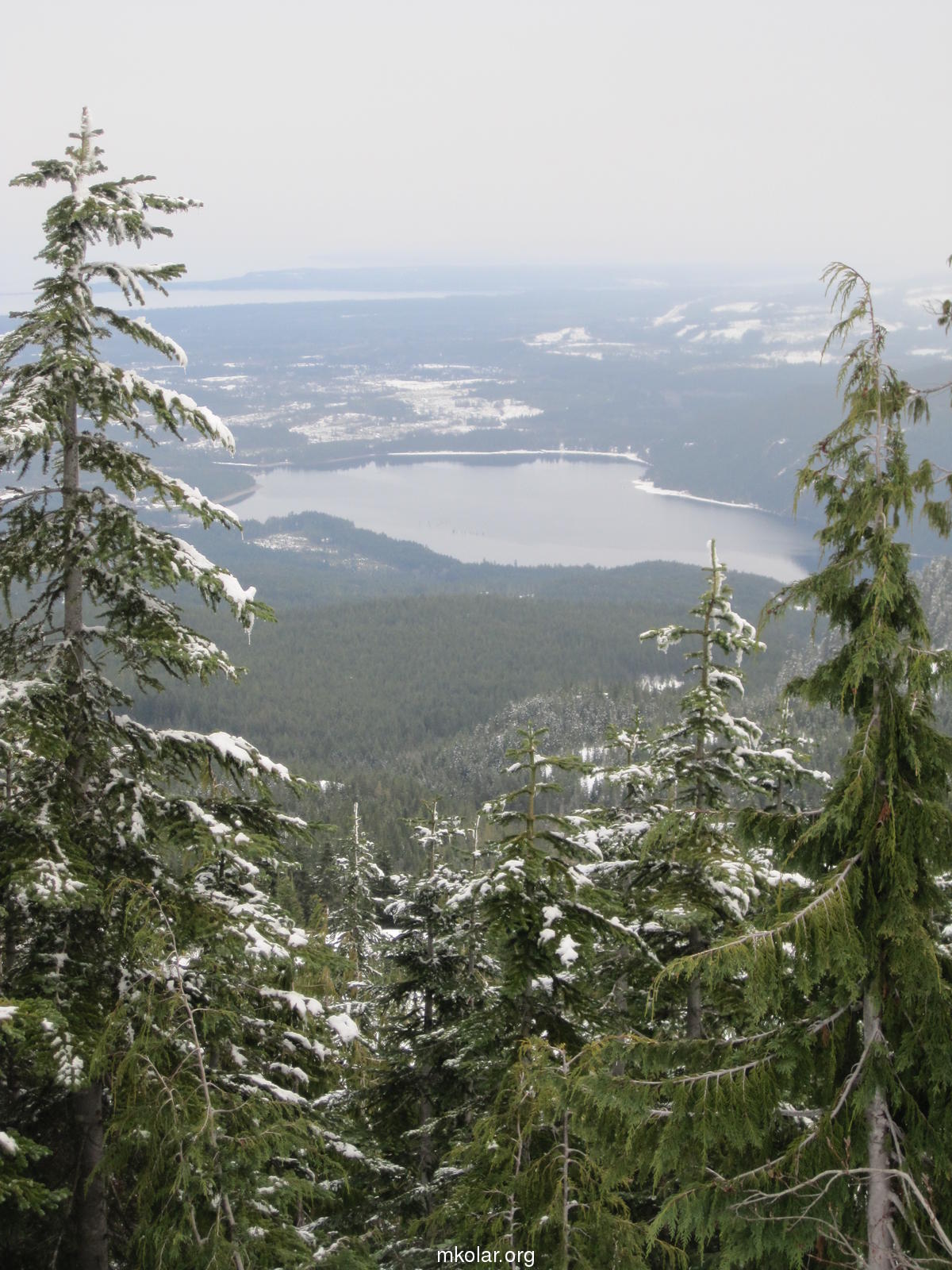
|
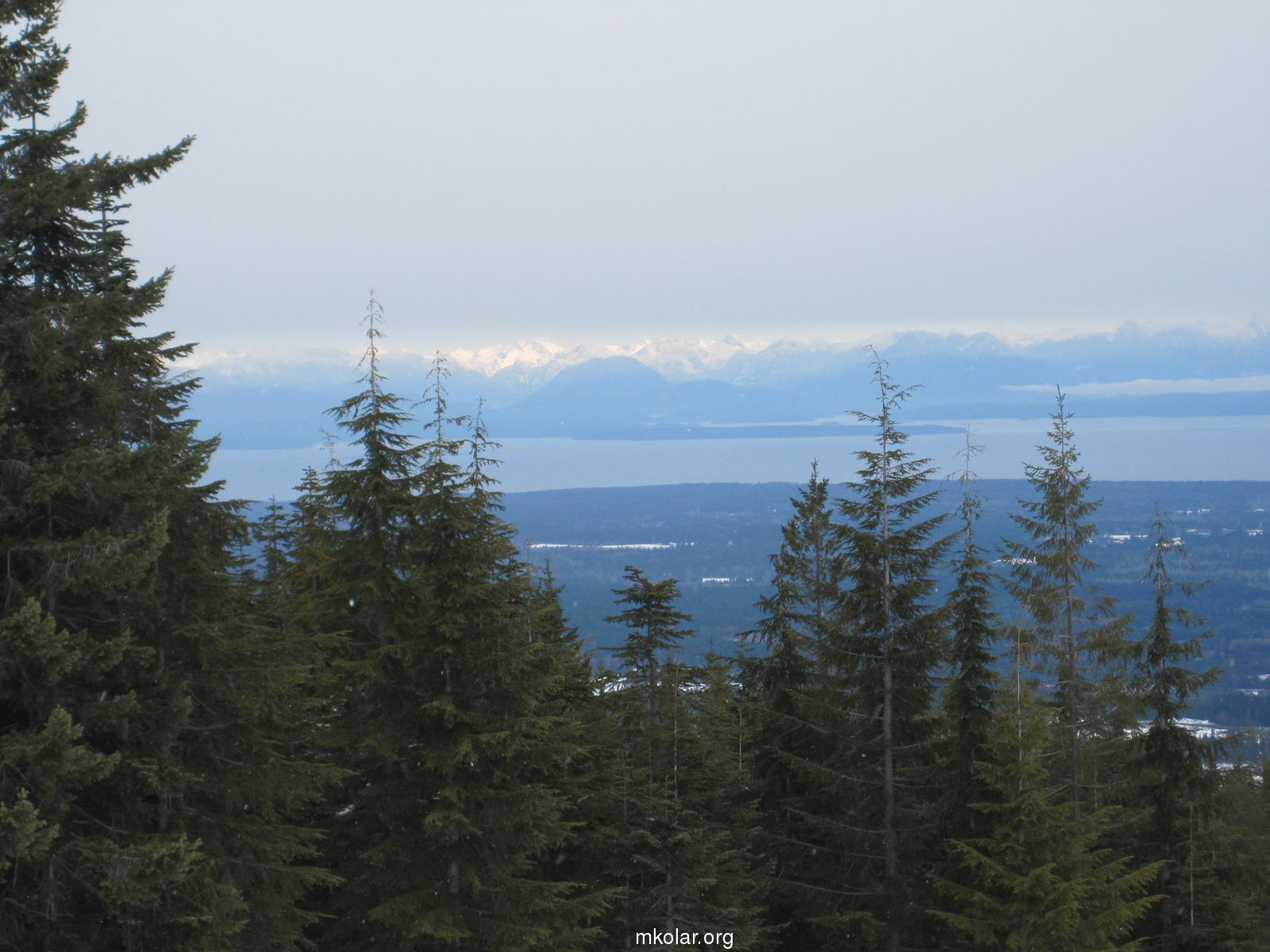
View of the mainland Coastal Mountains (and the Harwood Island and the northern tip of the
Texada Island(?) below them) from the beginning of the trail (from the top of the
old Forbidden Plateau ski runs):
Compared to what it looked like 18 days ago on the left, much more snow (about another meter) on the ground: 
Note the orange marks in the picture below, on the big tree left of the centre of the photo. They are apparently at the heights of 3 and 4 m above the ground. In the past winters I was moving somewhere that high, around/above the 4 m mark: 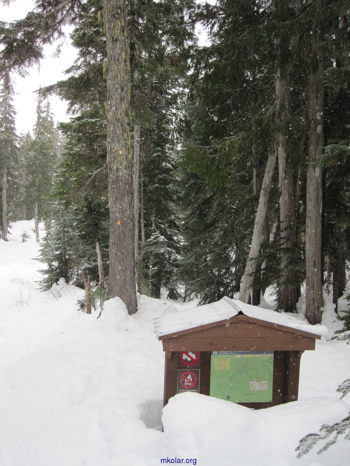
When I started the sun was still visible (see the first picture above), but soon it got cloudy and started to snow. 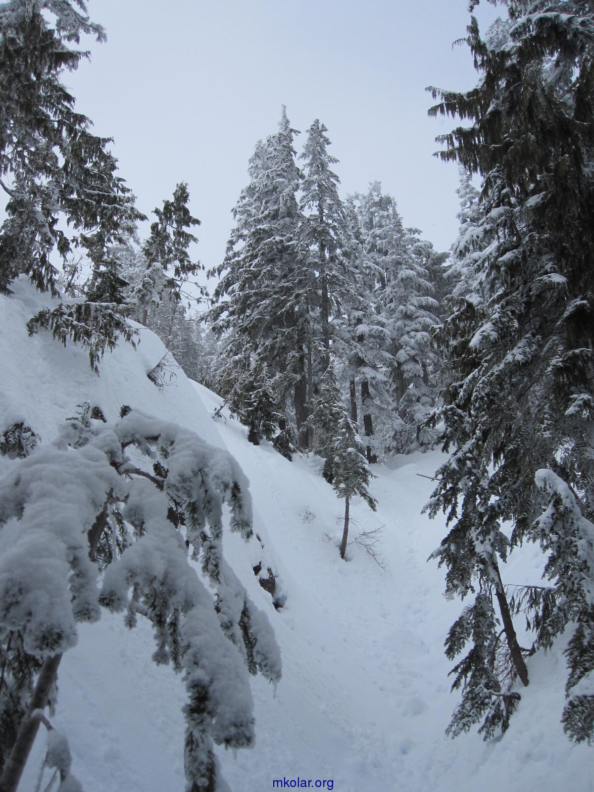
Approaching the summit of Mt. Becher. At this time I was between two layers of clouds. One was hiding the sea below, and the other one above me was blocking the sun: 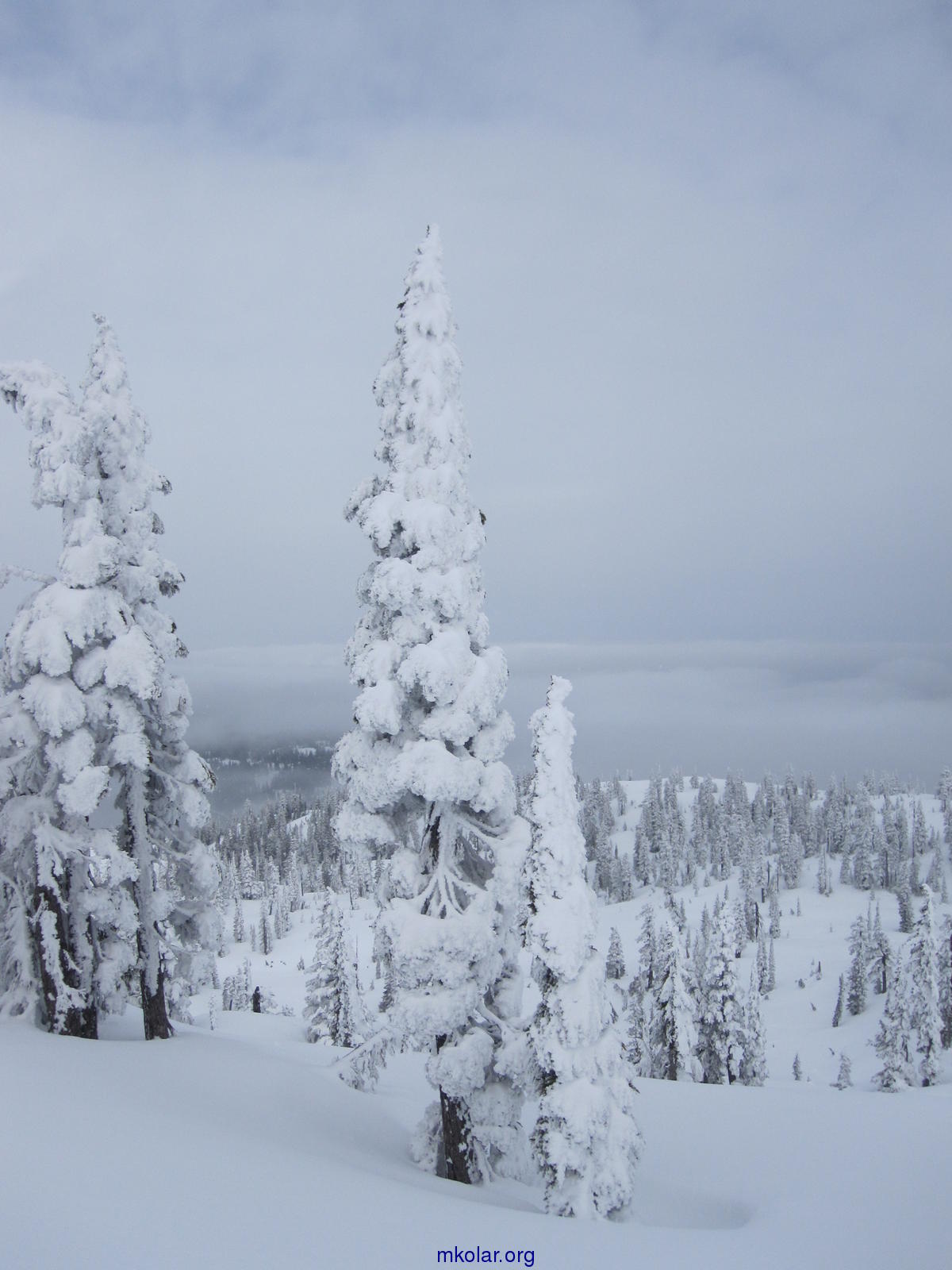

Sun starting to peek occasionally through the upper cloud layer: 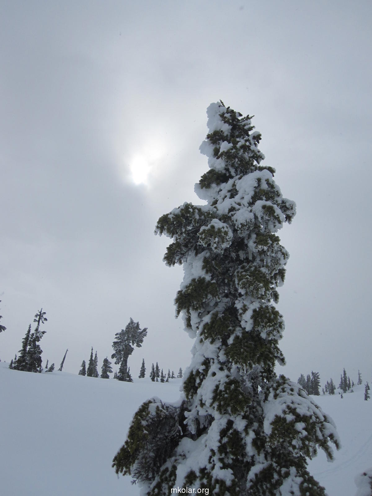

Mt. Becher summit. Also this summit rock have I seen for the first time. Usually there is 4-5 more metres of snow here. And much fewer trees visible, only the tops of some of them: 
I was lucky, the top layer of clouds disappeared almost as soon as I got to the summit. Here you can already see the trees casting shadows: 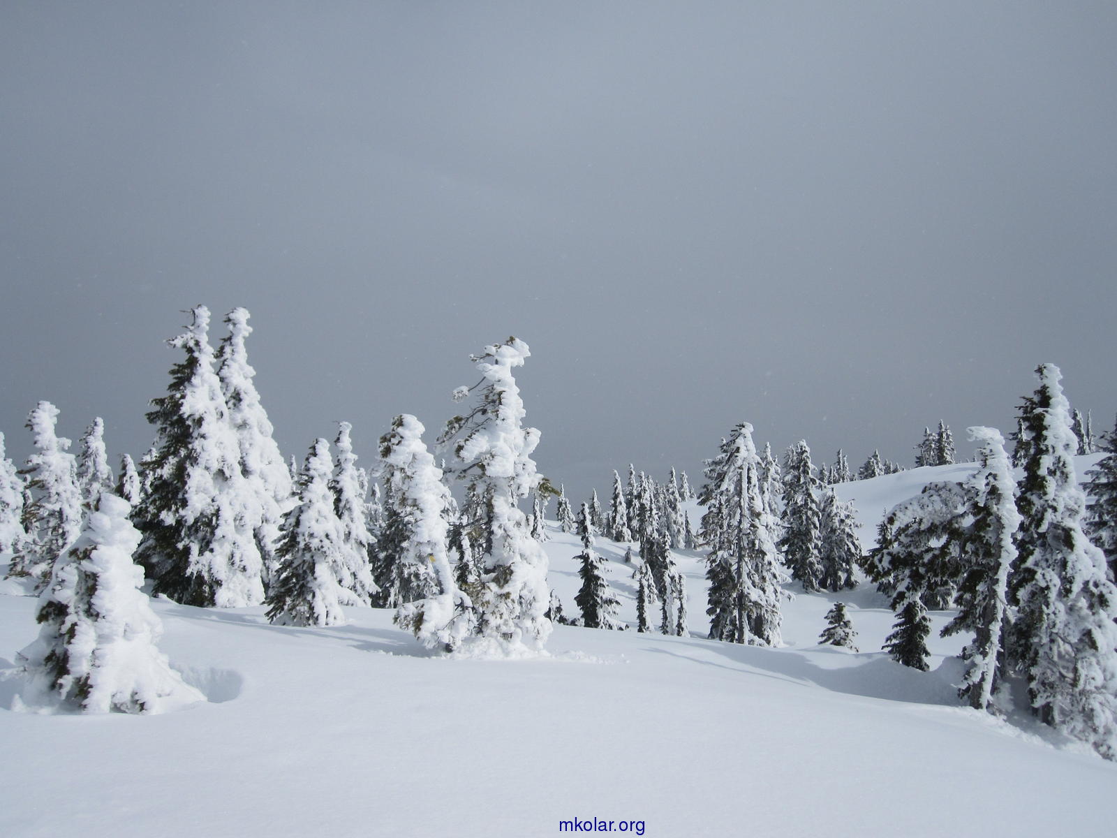
Before I finished my lunch, I was joined on the summit by two other snowshoers (besides them and me, only two other people on downhill skis were there that day): 
And when I starting walking back, at first crisscrossing the wide flat Mt. Becher top, also the lower cloud layer started to tear and one could catch glimpses of the Salish Sea (or the Strait of Georgia) and those two islands again: 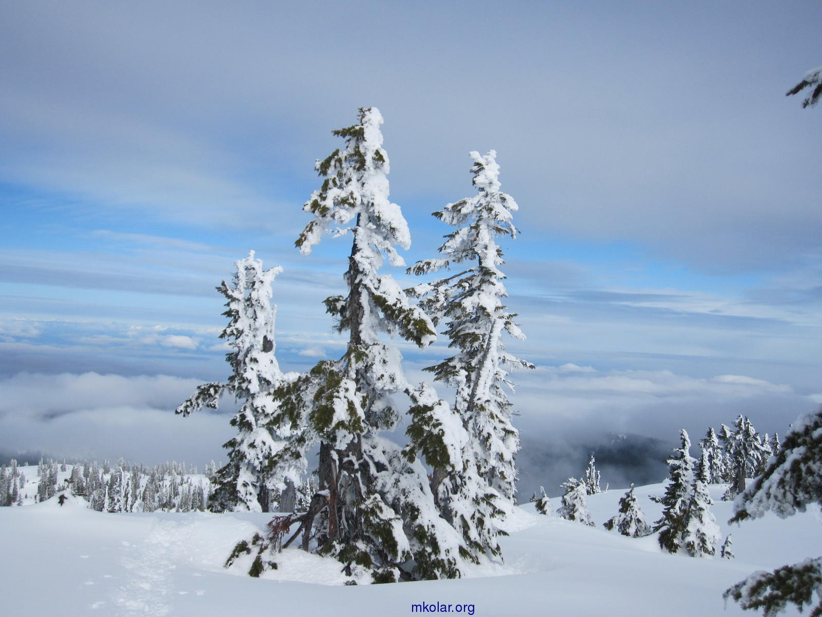

Here on the right, I believed that I saw a big white boat (I put a circle around it) leaving Powell River. But when I have now checked BC Ferries schedules, I found that there are no ferry sailings for the time the photo was taken (1:54 pm), either leaving nor arriving to Powell River!?: 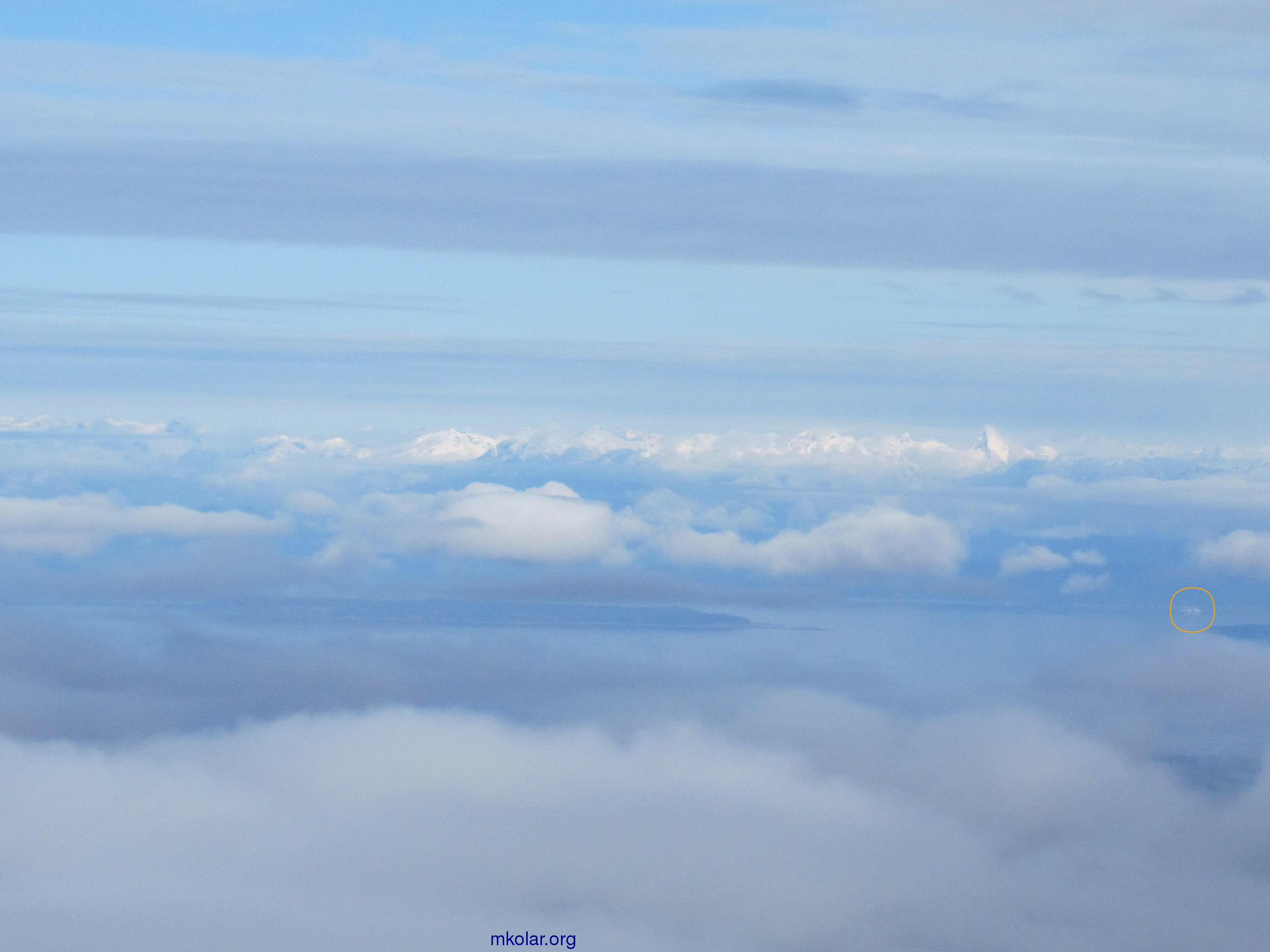
On my way back, the clouds were returning again. In spite of bad visibility, I noticed two climbers scaling a rather scary looking frozen waterfall on a steep wall of the bowl below the Mt. Becher ridge. Actually I noticed them only because they were calling loudly each other. Here is a close-up of the two climbers: 
↖ Continued at the bottom of the left column. |
![]()
![]()