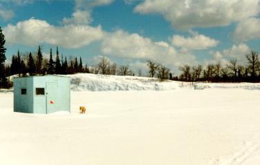
 An ice-fishing hut on the Winnipeg River near Pinawa. Later in the winter,
the ice is usually at least 80 cm thick and may be covered by up to 50 cm
of packed snow (March 1996).
An ice-fishing hut on the Winnipeg River near Pinawa. Later in the winter,
the ice is usually at least 80 cm thick and may be covered by up to 50 cm
of packed snow (March 1996).
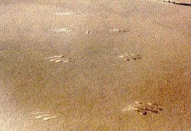 Imprints of the tips of the wings of a low flying bird in the
snow (colours were deliberately modified in this picture
to enhance contrast). Sharkeys Channel, March 1996.
Imprints of the tips of the wings of a low flying bird in the
snow (colours were deliberately modified in this picture
to enhance contrast). Sharkeys Channel, March 1996.
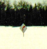
This traffic sign sticking out from the frozen surface of the Sharkeys
Channel doesn't seem to make much sense in the winter.
In the summer it warns small boats of the rapids on its left.
Actually, it reminded me that the ice was unsafe for
skiing in this area even when these rapids froze over during
the very cold winter of 1995/96 (taken in March 1996).


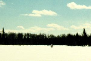
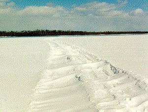 A snowmobile trail on the Winnipeg River (Margaret Lake near Otter Falls)
being rapidly covered by blowing snow (March 1996).
A snowmobile trail on the Winnipeg River (Margaret Lake near Otter Falls)
being rapidly covered by blowing snow (March 1996).